

Cumbres Pass to Wolf Creek Pass: Colorado Pt 1
May 22 - 29, 2022 South San Juan Wilderness CDT Miles 780-847

Chama New Mexico/Cumbres Pass to Pagosa Springs Colorado/Wolf Creek Pass/US Hwy 160.
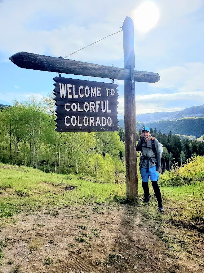
I had waited three days in town for the weather to clear up, there had been fresh snow only a few days prior and temperatures in the 20s. The San Juan Mountains are notorious for snow storms into May and June. By now there were only patches left and judging by reports and pictures of hikers ahead the extra days made a huge difference. Since the National Forests in New Mexico were closed due to fire danger, I hiked on the highway from Chama to the Pass. I actually did a “slackpack”: I left most of my gear at the Motel, got a ride up to the pass and hiked downhill back to town. It was still a nice walk and I got to go by the welcome to Colorado sign on the road.
The first day of actual hiking went smoothly after a steep climb up to the boundary of the South San Juan Wilderness. Snow was easily avoided, but the high elevation made me lightheaded and nauseous. The air was so thin I got out of breath very easily. It would be a few days before I acclimated.

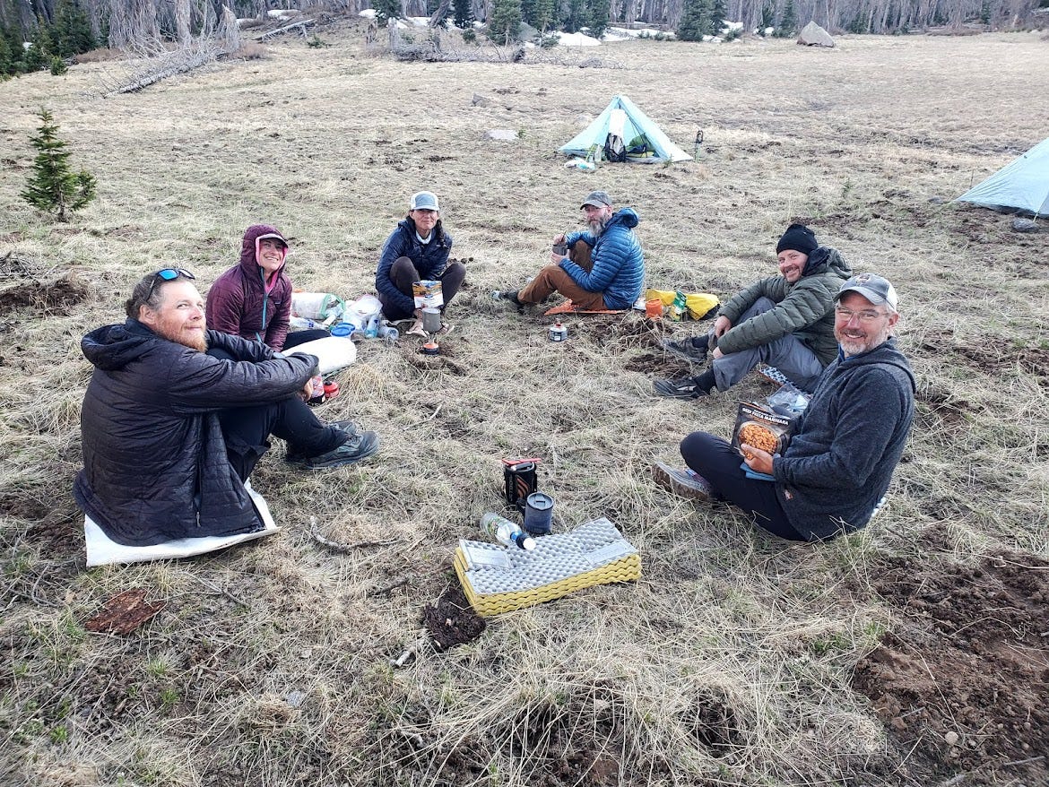
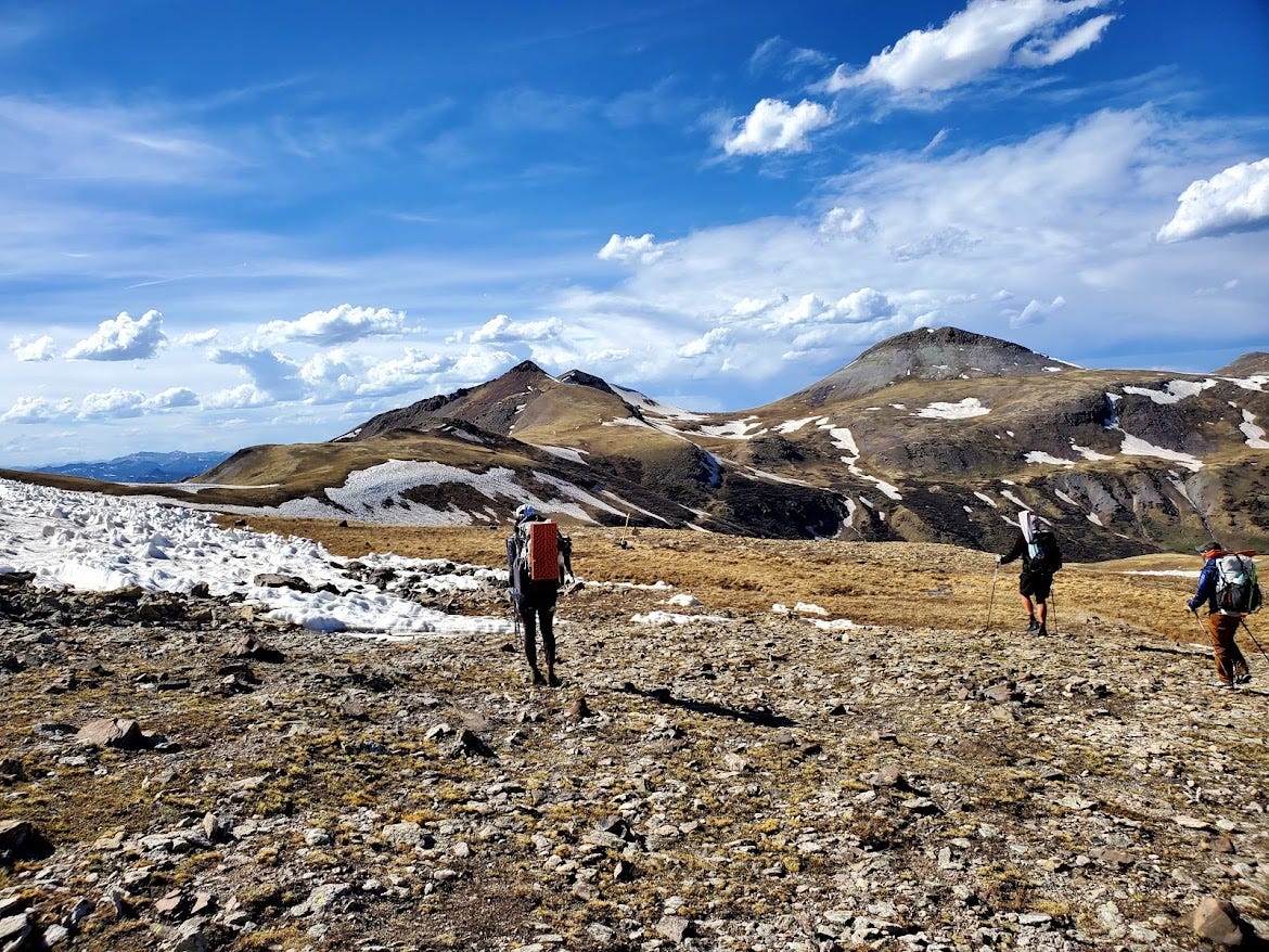
Hiking alone is very dangerous in this terrain, so I formed a trail family with a few other hikers. I started on the same day and even rode in the same shuttle to the southern terminus with a few of them and we’d been bumping into each other throughout New Mexico.
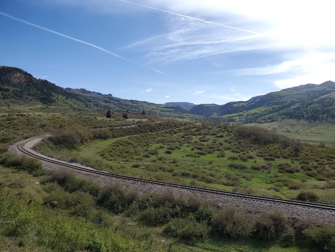
The second day the trail ascended again to the top of a plateau.
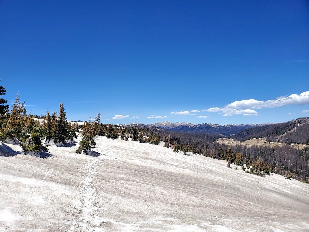
The trail was flat and somewhat easy going for a bit, but the tall jagged ridges of the San Juans loomed in the distance.
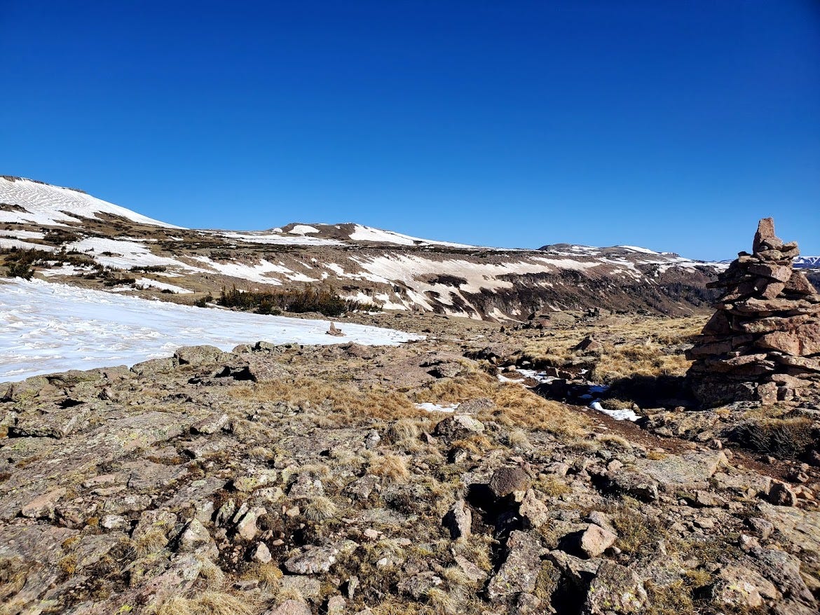
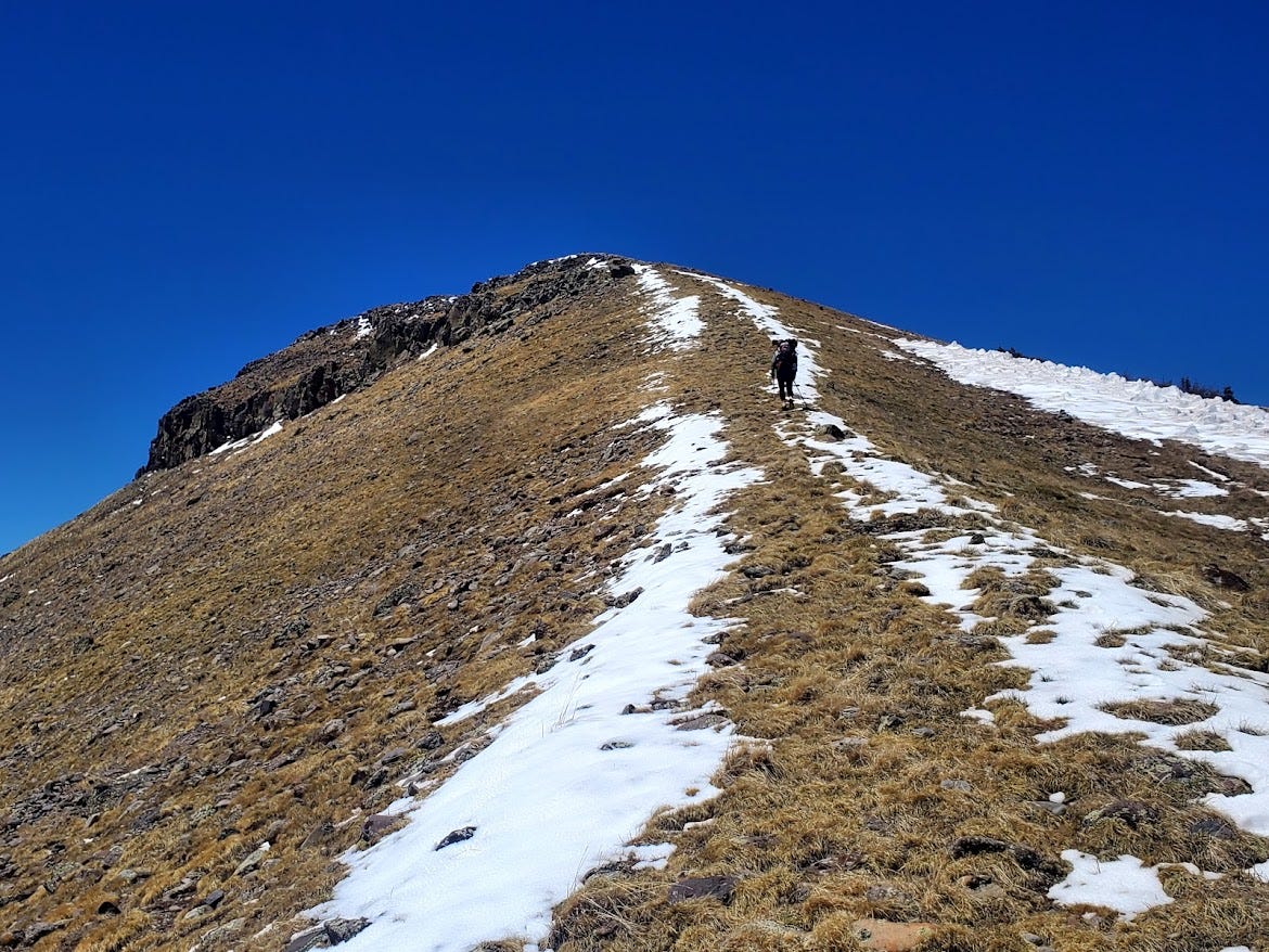
Eventually we entered mountain range itself

The scenery was absolutely incredible, but the trail was very exposed. There was little to shelter from the sun and wind.

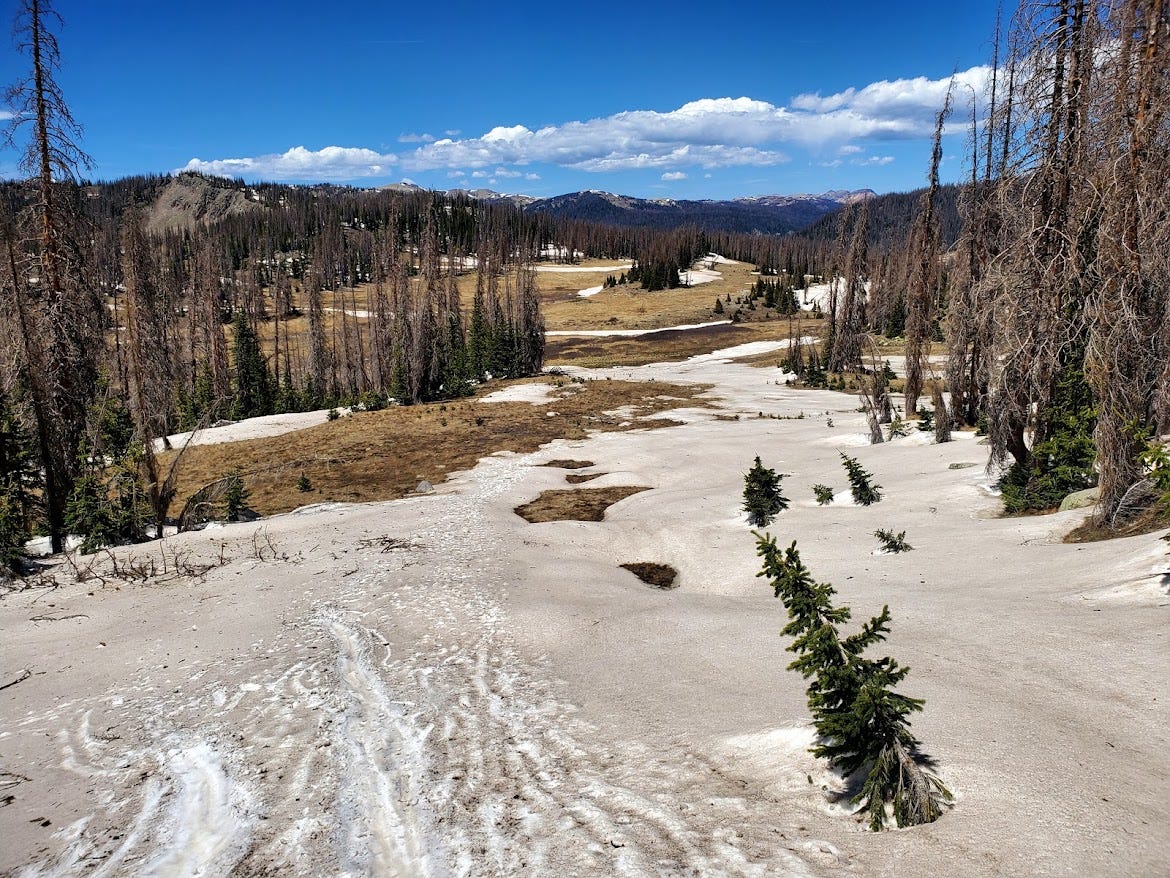
Large snowfields still lurked in the shadows behind the ridges. Traversing across was slow going but manageable.
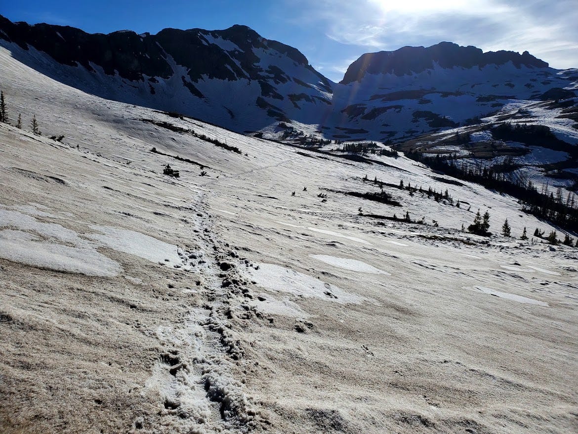
When the trail is covered with snow, It can be hard to follow. There might be multiple sets of footprints and the most used path isn’t exactly right. Sometimes it was just easier to leave the trail and navigate through the valleys that were snow free.
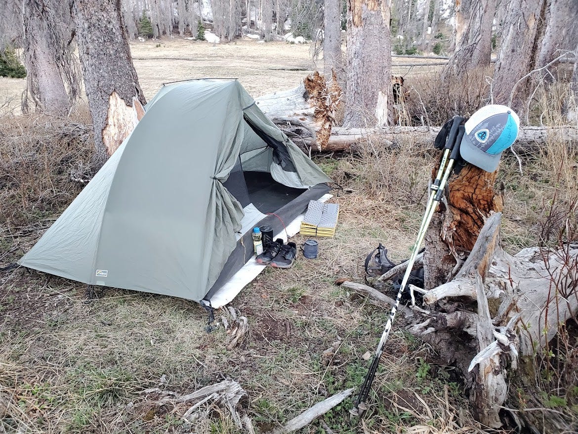
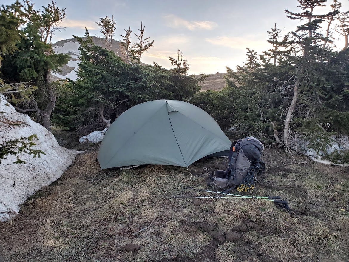
The trail was above 10,000 feet for several miles with no shelter from the wind. The third night was so windy I could not get my tent to stay up. It even bent one of the tent poles. I eventually gave up and kept hiking until I could find a suitable place to camp. I saw some trees half a mile off trail and was able to pitch my tent sheltered from the wind.
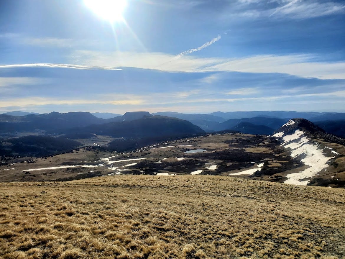
We were very fortunate to have a window of good weather. It was cold and windy up high but there was sun most of the time. There were only a few dangerous snowy spots, but they were short and manageable with the right safety equipment.
This section was a major challenge; one of the most difficult sections of the entire trail. I had a headache the first few days due to the high elevation and my lungs couldn’t get enough oxygen from the air. This along with the snow slowed my pace down quite a bit, but I had plenty of extra food and warm clothes to get me through along with a supportive trail family. Normally I prefer hiking alone, but for safety reasons you should stick with a group, and we all motivated each other through the treacherous terrain.
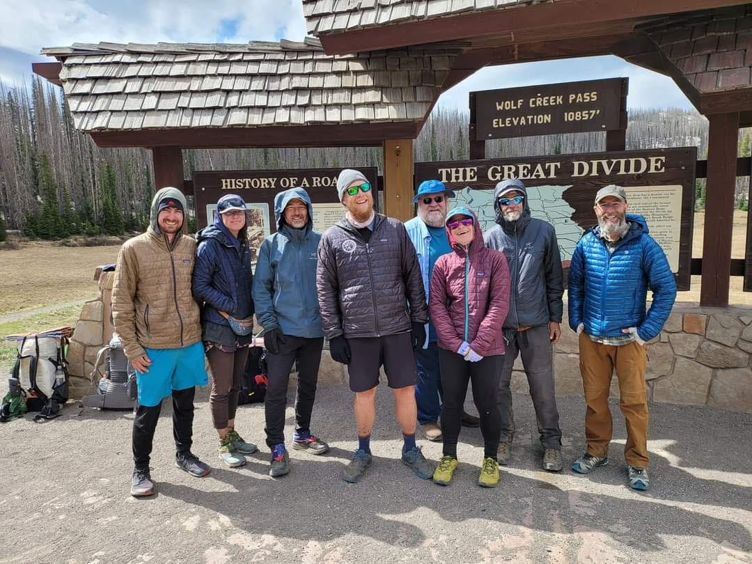
Cody had a friend in Pagosa Springs who converted a school bus into an RV. They picked us up at the pass and brought us into town.
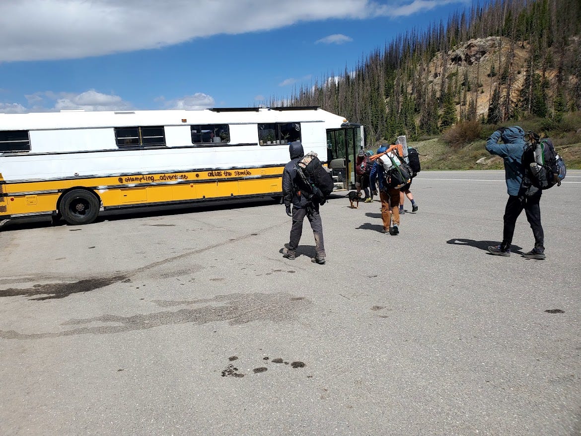

It was time for another town day to recuperate and evaluate weather and trail conditions for the upcoming section.